| Maps of Plum Island |
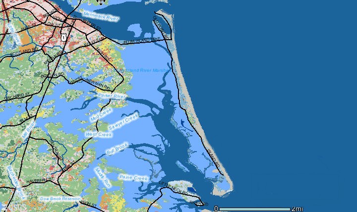
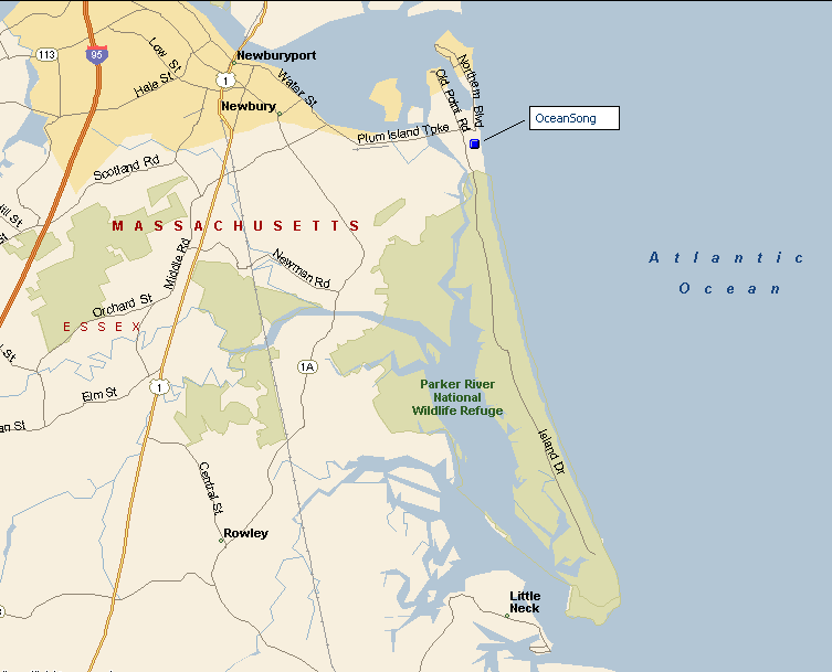
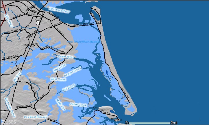
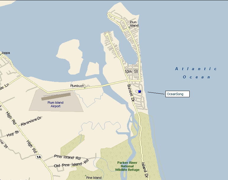
Plum Island is 8 miles of barrier island north of Boston on the Atlantic Ocean . The northern 2 miles of Plum Island are inhabited and include the towns of Newbury and Newburyport, Massachusetts. The northern tip of the island is at the entrance to the Merrimac River and is home to the Plum Island Lighthouse, fishing boats and dinner cruises.
The southern 6 miles of Plum Island are the Parker River National Wildlife Refuge and the Sandy Point State Park at the southern tip. A road, which runs down the marsh side of the Refuge to the State Park, is great for biking, birding, access to the beaches, and exploring the marshes of the Parker River estuary and Ipswich Bay. There are several parking areas along the way and one at the State Park.
| Aerial Views of Plum Island * (click views to enlarge) |
Maps of Plum Island (click maps to enlarge) |
|
|
| Land Cover | Plum Island -- Roads |
|
|
| Relief | Plum Island -- Streets |
|
|
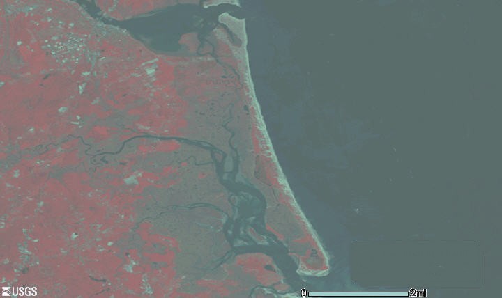
| Satellite |
* Source of aerial views -- U.S. Geological Survey data, Department of Interior.
Home